[QUOTE=Astralwalker;89910]The
left side of the
rectangle is the
breaking line.
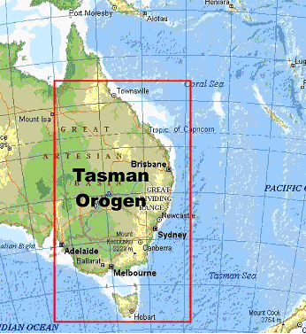
The
dark green area along the
east coast is completely
flooded.

The
lighter greenish area inside the borders of the rectangle in the previous picture is the
safe area that will stay intact. The best area is around
Queensland fields. It will sustain a
suitable climate for life after all this is over.
Update >>
Many people were asking if there is a possibility that I can deliver a more precise map, so here it is:

Thank you Astralwalker for answering these questions regarding Australia. I am sorry because I know you have been very kind at this busy time. Please allow me once last clarification. Between these three maps and especially the second and last updated one, it seems that ALL of Victoria, Melbourne will be submerged not even North East Vic appears to be clear like the second map which has a distinction between light & dark green areas???
If all this is to occur around 21/12/12 and the blue beams 13/12/12 you would HOPE that most of mankind that is remaining would be able to have the power and ability to overcome whatever!
Your wisdom and knowledge is greatly appreciated, THANK YOU for sharing. Cheers Pep